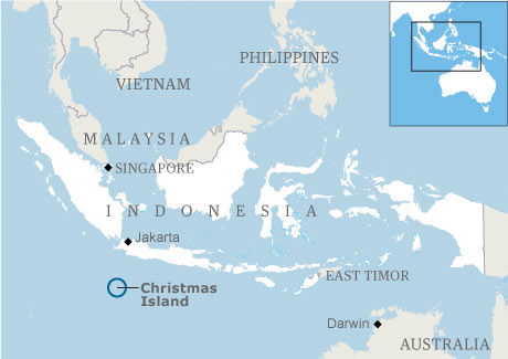
Christmas Insel
Christmas Insel hat eine Bevölkerung von 1,402 Menschen, die Hauptstadt von Christmas Insel ist Flying Fish Cove und größte Stadt Flying Fish Cove.
Christmas Insel Personaleinkommen pro Kopf , Arbeitslosenquote und Währung Australian dollar (AUD) . Christmas Insel Amtssprachen und meist gesprochene Dialekte sind English, ethnische Gruppen: 70% Chinese, 20% European, 10% Malay.
Christmas Insel
- Capital : Flying Fish Cove
- Population : 1,402
- BIP:
- Pro Kopf:
- Anrufcode: +61
- Arbeitslosenquote:
- Bereich: 10.39/km2 (26.96/sq mi)
- Größte Stadt: Flying Fish Cove
- Präsident: Quentin Bryce
- Premierminister: Brian Lacy
- Währung: Australian dollar (AUD)
- Zeitzone: +7
- Internet-Ext. : .cx
- Inflationsrate:
- Zinssatz:
- Schulden-BIP:
- Sprachen: English
- Ethnizität: 70% Chinese, 20% European, 10% Malay
Klicken Sie hier für die Christmas Insel Karte!
Christmas Insel hat 10.39/km2 (26.96/sq mi), sein BIP (Bruttoinlandsprodukt) beträgt . Christmas Insel Präsident Quentin Bryce und Premierminister Brian Lacy.Christmas Insel Economy
Christmas Insel BIP : , Pro Kopf:
Arbeitslosenquote: , Währung: Australian dollar (AUD)
Inflationsrate: , Zinssatz:
Schulden-BIP: , Internet-Ext. : .cx
Anrufcode: +61 , Zeitzone: +7
Arbeitslosenquote: , Währung: Australian dollar (AUD)
Inflationsrate: , Zinssatz:
Schulden-BIP: , Internet-Ext. : .cx
Anrufcode: +61 , Zeitzone: +7
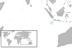
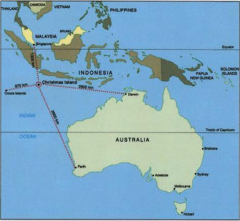
Wo ist Christmas Insel & Karte von Christmas Insel
Christmas Insel Demografie und Ethnizität
Christmas Insel Bevölkerung : 1,402, Gebiet : 10.39/km2 (26.96/sq mi)
Christmas Insel Hauptstadt: Flying Fish Cove, Größte Stadt: Flying Fish Cove
Sprachen: English, Ethnizität: 70% Chinese, 20% European, 10% Malay.
Christmas Insel Hauptstadt: Flying Fish Cove, Größte Stadt: Flying Fish Cove
Sprachen: English, Ethnizität: 70% Chinese, 20% European, 10% Malay.
Christmas Insel Regierung und Militär
Christmas Insel Präsident : Quentin Bryce, Premierminister: Brian Lacy
Christmas InselReligion und Kultur
Christmas Insel Verlauf
Christmas Insel Geografie und Klima
Eine Sammlung von Christmas Insel Bildern, Fotos und Karten
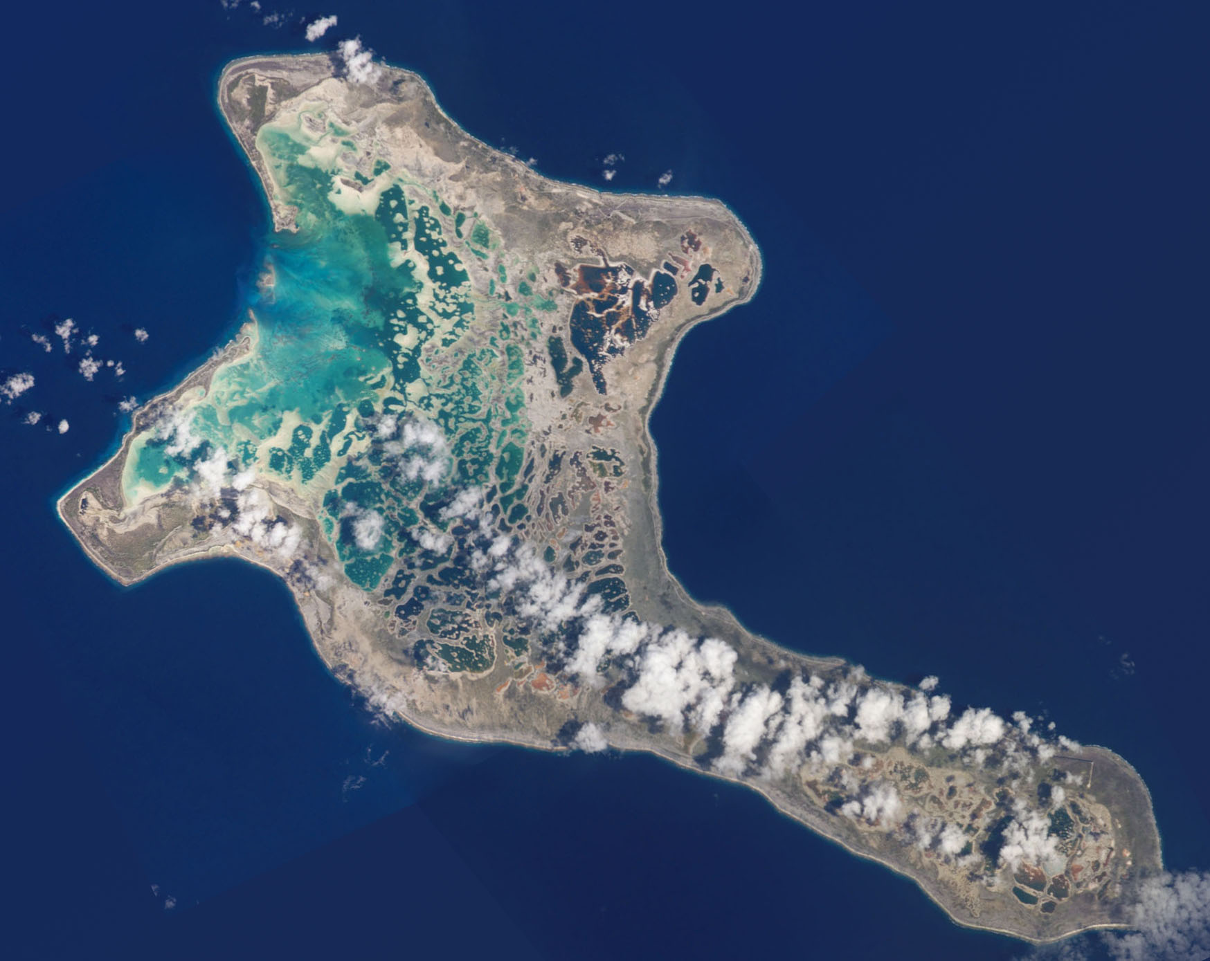
christmas insel antenne aussicht
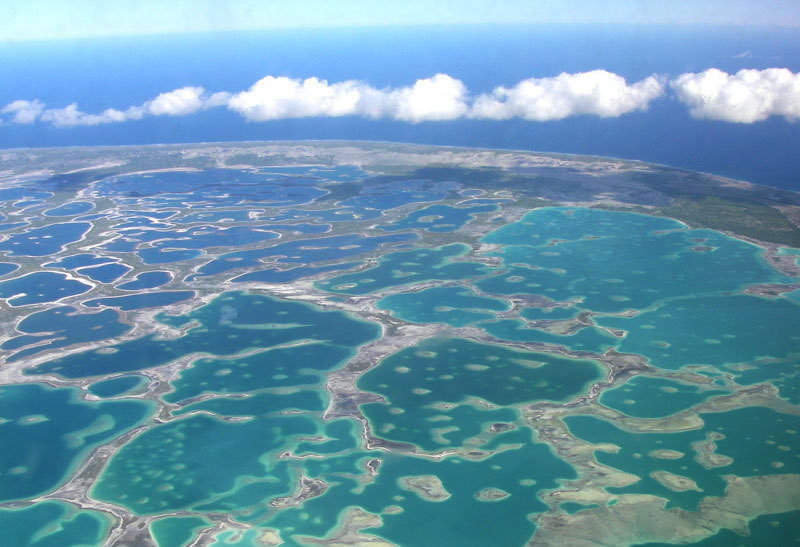
christmas insel
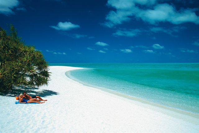
Christmas Insel strand
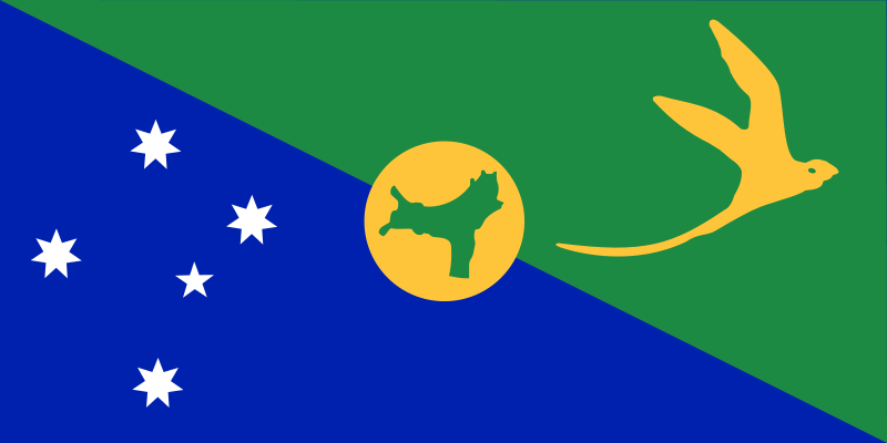
Christmas Insel flagge

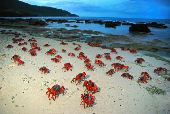
crabs christmas insel
karte von christmas insel
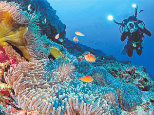
recifes christmas insel
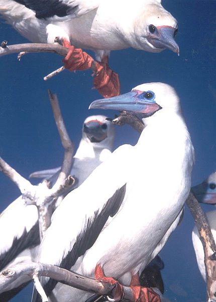
Red footed booby christmas insel
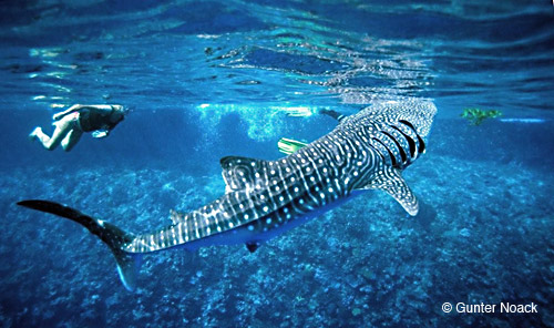
whaleshark christmas insel
wo ist Christmas Insel

Karte der größten Städte von Christmas Insel
Copyright Weltkarte 2009 - 2026. Alle Rechte vorbehalten. Datenschutz-Bestimmungen | Dementi


